
Östersund topographic map
Interactive map
Click on the map to display elevation.
About this map
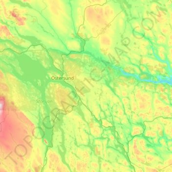
Name: Östersund topographic map, elevation, terrain.
Location: Östersund, Jämtlands län, Norrland, Zweden (62.66615 14.26523 63.59497 15.55589)
Average elevation: 367 m
Minimum elevation: 202 m
Maximum elevation: 702 m
Other topographic maps
Click on a map to view its topography, its elevation and its terrain.
Östersund
Zweden > Jämtlands län > Östersund
Östersund, Jämtlands län, Norrland, 831 31, Zweden
Average elevation: 341 m