Geolocate

El Marchal topographic map

Click on the map to display elevation.

About this map

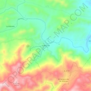
Name: El Marchal topographic map, elevation, terrain.

Location: El Marchal, Lubrín, Almería, Andalucía, 04271, España (37.19574 -2.04376 37.23574 -2.00376)

Average elevation: 488 m

Minimum elevation: 316 m

Maximum elevation: 724 m

Other topographic maps

Click on a map to view its topography, its elevation and its terrain.

Sierra de la Atalaya

España > Andalucía > Lubrín

Average elevation: 654 m

Gear up for your next adventure:

🥾Trail Running Boots - Durable shoes designed for trail running
Bushcraft Tarp - Versatile emergency shelter or gear protection
💡Solar Camping Lamp - Eco-friendly lighting for campsites
💧Hydration Bladder - Hands-free hydration solution for long treks
🧥Packable Rain Jacket - Breathable waterproof layer for unpredictable weather

As an Amazon Associate, this site earns from qualifying purchases at no extra cost to you.