
Thank you for supporting this site ❤️
Make a donation
Make a donation
Gear up for your next adventure:
As an Amazon Associate, this site earns from qualifying purchases at no extra cost to you.
Roverbasso topographic map
Click on the map to display elevation.
Thank you for supporting this site ❤️
Make a donation
Make a donation
Gear up for your next adventure:
As an Amazon Associate, this site earns from qualifying purchases at no extra cost to you.
About this map
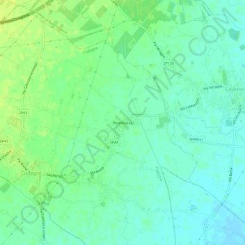
Name: Roverbasso topographic map, elevation, terrain.
Location: Roverbasso, Codognè, Treviso, Veneto, 31013, Italia (45.85500 12.43530 45.89500 12.47530)
Average elevation: 22 m
Minimum elevation: 14 m
Maximum elevation: 31 m
Thank you for supporting this site ❤️
Make a donation
Make a donation
Gear up for your next adventure:
As an Amazon Associate, this site earns from qualifying purchases at no extra cost to you.