Geolocate

Valera topographic map

Click on the map to display elevation.

About this map

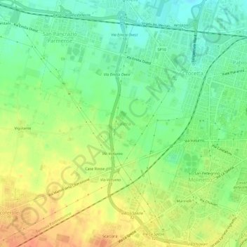
Name: Valera topographic map, elevation, terrain.

Location: Valera, Parma, Emilia-Romagna, 43126, Italy (44.77925 10.26490 44.81925 10.30490)

Average elevation: 65 m

Minimum elevation: 45 m

Maximum elevation: 87 m

Gear up for your next adventure:

🧰Survival Kit - Essential gear for emergencies in the wilderness
🧥Thermal Layer - Insulating layer for cold outdoor conditions
🧥Fleece Jacket - Warm and lightweight jacket for layering
🔋Solar Power Bank - Keep your GPS and devices charged during long outdoor trips
🥾Trekking Poles - Adjustable trekking poles to reduce knee stress and improve stability

As an Amazon Associate, this site earns from qualifying purchases at no extra cost to you.