Geolocate

Sungai Sedim topographic map

Click on the map to display elevation.

About this map

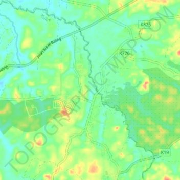
Name: Sungai Sedim topographic map, elevation, terrain.

Location: Sungai Sedim, Merbau Pulas, Kulim, Kedah, Malaysia (5.48516 100.64803 5.55317 100.70924)

Average elevation: 25 m

Minimum elevation: 9 m

Maximum elevation: 55 m

Gear up for your next adventure:

🛏️Sleeping Bag - Warm and compact sleeping bags for outdoor camping
🧭Orienteering Kit - Tools for map reading and navigation in the wild
🕯️Camping Lantern - Illuminates your entire campsite with high-efficiency LEDs
👖Convertible Hiking Pants - Zip-off legs to adapt to changing weather conditions
Camping Tent - Weather-resistant tents suitable for 2 to 6 people

As an Amazon Associate, this site earns from qualifying purchases at no extra cost to you.