Geolocate

Fleet topographic map

Click on the map to display elevation.

About this map
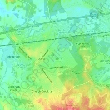
Name: Fleet topographic map, elevation, terrain.

Location: Fleet, Hart, Hampshire, England, United Kingdom (51.26322 -0.87594 51.30238 -0.79030)

Average elevation: 76 m

Minimum elevation: 56 m

Maximum elevation: 118 m

Other topographic maps

Click on a map to view its topography, its elevation and its terrain.

Brookly Stream

United Kingdom > England > Hampshire > Hart > Fleet

Average elevation: 78 m

Gear up for your next adventure:

🧥Fleece Jacket - Warm and lightweight jacket for layering
🔨Vehicle Emergency Tool - Safety tool for remote road trips to trailheads
🎒Hiking Backpack - Lightweight and ergonomic backpacks for day hikes or multi-day treks
🧥Softshell Jacket - Windproof and breathable jacket for hiking
🥾Approach Shoes - Shoes designed for climbing approaches and rugged trails

As an Amazon Associate, this site earns from qualifying purchases at no extra cost to you.