

Stemnitsa topographic map
Click on the map to display elevation.
Stemnitsa
Stemnitsa (Greek: Στεμνίτσα) is a mountain village in the municipal unit of Trikolonoi, Arcadia, Peloponnese, Greece. It was the seat of the former municipality Trikolonoi. Stemnitsa is a traditional settlement and is considered one of the most beautiful villages in Arcadia, due to its picturesque location and its historical churches and mansions. It is situated at the western edge of the Mainalo mountains, above the left bank of the river Lousios, at about 1050 m elevation. Stemnitsa is 6 km southeast of Dimitsana, 9 km northeast of Karytaina, 18 km northwest of Megalopoli and 26 km west of Tripoli.
About this map
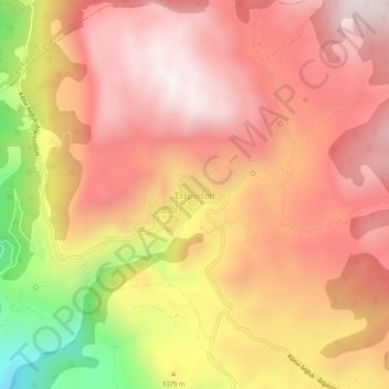
Name: Stemnitsa topographic map, elevation, terrain.
Average elevation: 1,166 m
Minimum elevation: 455 m
Maximum elevation: 1,546 m