
Pampa Libre topographic map
Interactive map
Click on the map to display elevation.
About this map
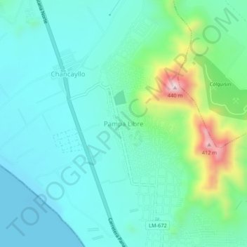
Name: Pampa Libre topographic map, elevation, terrain.
Location: Pampa Libre, Chancay, Huaral, Lima, Perú (-11.51779 -77.31465 -11.47779 -77.27465)
Average elevation: 96 m
Minimum elevation: -2 m
Maximum elevation: 451 m