Geolocate

Statenville topographic map

Click on the map to display elevation.

About this map

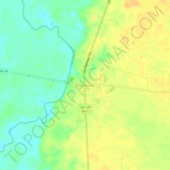
Name: Statenville topographic map, elevation, terrain.

Location: Statenville, Echols County, Georgia, 31648, United States (30.68333 -83.04793 30.72333 -83.00793)

Average elevation: 41 m

Minimum elevation: 26 m

Maximum elevation: 52 m

Gear up for your next adventure:

🔥Camping Stove - Portable stoves to cook outdoors with ease
🔭Outdoor Binoculars - Lightweight binoculars for birdwatching and hiking
🧣Evaporative Cooling Towel - Beat the heat during intense summer climbs
🧥Softshell Jacket - Windproof and breathable jacket for hiking
🌡️Emergency Mylar Blankets - Compact thermal protection for unexpected nights outdoors

As an Amazon Associate, this site earns from qualifying purchases at no extra cost to you.