
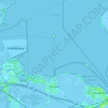
Muiden topographic map
Interactive map
Click on the map to display elevation.
About this map
Name: Muiden topographic map, elevation, terrain.
Location: Muiden, Gooise Meren, Noord-Holland, Nederland (52.31632 5.01279 52.38865 5.13461)
Average elevation: 0 m
Minimum elevation: -7 m
Maximum elevation: 9 m
Topografische kaart van de gemeente Muiden (sept. 2014)