Geolocate

Nganjuk topographic map

Click on the map to display elevation.

About this map

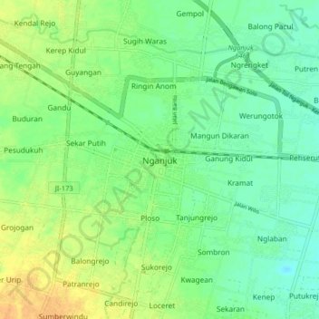
Name: Nganjuk topographic map, elevation, terrain.

Location: Nganjuk, East Java, Java, 64414, Indonesia (-7.76236 111.74106 -7.44236 112.06106)

Average elevation: 156 m

Minimum elevation: 39 m

Maximum elevation: 1,096 m

Other topographic maps

Click on a map to view its topography, its elevation and its terrain.

Banjarsari

Indonesia > East Java > Nganjuk

Average elevation: 49 m

Gear up for your next adventure:

🧴Bear Spray Holster - Quick-access carry for essential Canadian wilderness safety
🧢Beanie Hat - Keep your head warm in cold weather
👟Sport Hiking Sandals - Breathable footwear for water crossings and camp rest
🥽Outdoor Goggles - Protective eyewear for outdoor activities
🧥Fleece Jacket - Warm and lightweight jacket for layering

As an Amazon Associate, this site earns from qualifying purchases at no extra cost to you.