
Vimy Ridge topographic map
Click on the map to display elevation.
About this map
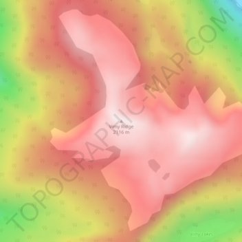
Name: Vimy Ridge topographic map, elevation, terrain.
Average elevation: 1,871 m
Minimum elevation: 1,382 m
Maximum elevation: 2,118 m
Thompson-Nicola Regional District trails, hiking, mountain biking, running and outdoor activities
Other topographic maps
Click on a map to view its topography, its elevation and its terrain.
Murtle Lake
Canada > British Columbia > Thompson-Nicola Regional District > Area A (Wells Gray Country)
Average elevation: 1,470 m
Strait Lake
Canada > British Columbia > Thompson-Nicola Regional District > Area A (Wells Gray Country)
Average elevation: 1,531 m
North Thompson River Provincial Park
Canada > British Columbia > Thompson-Nicola Regional District > Area A (Wells Gray Country)
Average elevation: 471 m