Geolocate

Monday topographic map

Click on the map to display elevation.

About this map

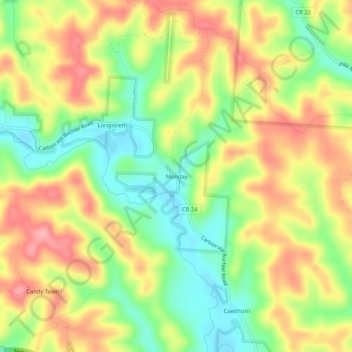
Name: Monday topographic map, elevation, terrain.

Location: Monday, Hocking County, Ohio, 43247, United States (39.47229 -82.23070 39.51229 -82.19070)

Average elevation: 260 m

Minimum elevation: 203 m

Maximum elevation: 318 m

Other topographic maps

Click on a map to view its topography, its elevation and its terrain.

Murray City

United States > Ohio > Hocking County

Average elevation: 257 m

Rose Lake

United States > Ohio > Hocking County

Average elevation: 295 m

Logan

United States > Ohio > Hocking County

Average elevation: 254 m

Rose Lake Dam

United States > Ohio > Hocking County

Average elevation: 297 m

Gear up for your next adventure:

🪑Insulated Seat Pad - Protect your seat from cold rocks and wet logs
🕶️Polarized Sunglasses - Protect your eyes with durable polarized lenses
🛌Down Sleeping Bag - Superior warmth-to-weight ratio for cold nights
🧰Multitool Knife - Compact and versatile tool for outdoor use
🥾Durable Hiking Shoes - Long-lasting shoes for frequent hiking

As an Amazon Associate, this site earns from qualifying purchases at no extra cost to you.