Geolocate

Coco Island topographic map

Click on the map to display elevation.

About this map

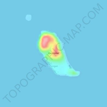
Name: Coco Island topographic map, elevation, terrain.

Location: Coco Island, Linungan, Akbar, Basilan, Bangsamoro, Philippines (6.72657 122.25347 6.73821 122.26411)

Average elevation: 4 m

Minimum elevation: 0 m

Maximum elevation: 121 m

Gear up for your next adventure:

🦌Outdoor Trail Camera - Monitor wildlife activity near your favorite spots
🏃Hydration Running Vest - Carry water and maps close to your body for speed
🐕Hiking Dog Pack - Let your canine companion carry their own water and food
🧦Outdoor Socks - Durable socks designed for hiking and outdoor sports
🦶Anti-Blister Balm - Prevents friction and hotspots during long ascents

As an Amazon Associate, this site earns from qualifying purchases at no extra cost to you.