Geolocate

La Cantera topographic map

Click on the map to display elevation.

About this map

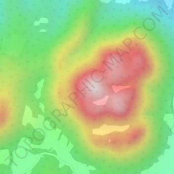
Name: La Cantera topographic map, elevation, terrain.

Location: La Cantera, Pátzcuaro, Michoacán, Mexico (19.50673 -101.53055 19.50683 -101.53045)

Average elevation: 2,498 m

Minimum elevation: 2,182 m

Maximum elevation: 2,849 m

Gear up for your next adventure:

🥾Trail Hiking Shoes - Durable shoes designed for rugged trails
🧥Ultralight Puffy Jacket - Maximum warmth that packs down to the size of an orange
🧴Insect Repellent - Protect yourself from bugs during outdoor adventures
🛶Kayak Dry Bag - Waterproof storage for kayaking adventures
🥾Approach Boots - Comfortable boots for hiking and climbing approaches

As an Amazon Associate, this site earns from qualifying purchases at no extra cost to you.