Geolocate

sakari topographic map

Click on the map to display elevation.

About this map

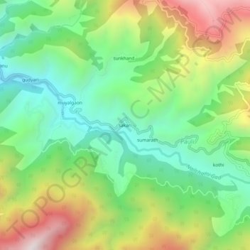
Name: sakari topographic map, elevation, terrain.

Location: sakari, Pauli, Ghansali, Tehri Garhwal, Uttarakhand, India (30.37354 78.71021 30.41354 78.75021)

Average elevation: 1,469 m

Minimum elevation: 1,051 m

Maximum elevation: 2,151 m

Gear up for your next adventure:

🧼Travel Hand Sanitizer - Keep hands clean when water is scarce
🥾Approach Boots - Comfortable boots for hiking and climbing approaches
🥾Lightweight Hiking Boots - Boots for comfort and mobility on long hikes
🧢Outdoor Visor - Breathable visor for sunny hikes
🛏️Camping Sleeping Mat - Comfortable mats for sleeping outdoors

As an Amazon Associate, this site earns from qualifying purchases at no extra cost to you.