

Nakatane topographic map
Click on the map to display elevation.
About this map
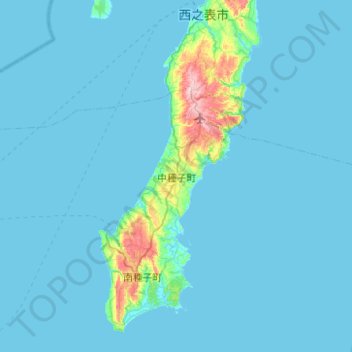
Name: Nakatane topographic map, elevation, terrain.
Average elevation: 17 m
Minimum elevation: 0 m
Maximum elevation: 275 m
Other topographic maps
Click on a map to view its topography, its elevation and its terrain.

Mount Miyanoura
Japan > Kumage County > Yakushima
Mount Miyanoura (宮之浦岳, Miyanoura-dake) is a mountain in central Yakushima in Kagoshima Prefecture. At an altitude of 1,936 m (6,352 ft), it is the highest peak of Yakushima and also the highest peak of the Kyushu region. It is one of the 100 Famous Japanese Mountains.
Average elevation: 1,628 m