Strete topographic map
Interactive map
Click on the map to display elevation.
About this map
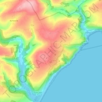
Name: Strete topographic map, elevation, terrain.
Location: Strete, South Hams, Devon, England, United Kingdom (50.29550 -3.66284 50.33042 -3.61012)
Average elevation: 65 m
Minimum elevation: -1 m
Maximum elevation: 159 m
Other topographic maps
Click on a map to view its topography, its elevation and its terrain.
Woodleigh
United Kingdom > England > Devon > South Hams
Woodleigh, South Hams, Devon, England, United Kingdom
Average elevation: 108 m
Dartmouth
United Kingdom > England > Devon > South Hams > Kingswear
Dartmouth, Kingswear, South Hams, Devon, England, United Kingdom
Average elevation: 71 m