Geolocate

Valmorel topographic map

Click on the map to display elevation.

About this map
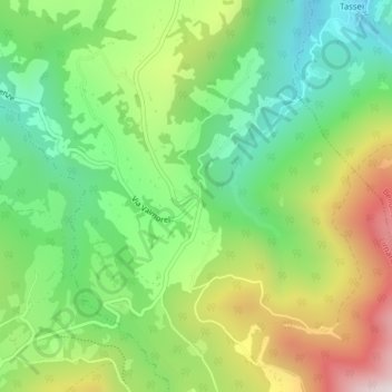
Name: Valmorel topographic map, elevation, terrain.

Location: Valmorel, Limana, Belluno, Veneto, 32020, Italy (46.04429 12.21813 46.06429 12.23813)

Average elevation: 834 m

Minimum elevation: 538 m

Maximum elevation: 1,301 m

Gear up for your next adventure:

🧤Rechargeable Heated Gloves - Extreme warmth for Canadian winter expeditions
🥾Trail Running Boots - Durable shoes designed for trail running
🥾Waterproof Hiking Shoes - Durable shoes for wet and rugged trails
🧣Merino Neck Gaiter - Protects against wind, sun, and cold at high altitudes
🛌Down Sleeping Bag - Superior warmth-to-weight ratio for cold nights

As an Amazon Associate, this site earns from qualifying purchases at no extra cost to you.