
Thank you for supporting this site ❤️
Make a donation
Make a donation
Gear up for your next adventure:
As an Amazon Associate, this site earns from qualifying purchases at no extra cost to you.
seehore topographic map
Click on the map to display elevation.
Thank you for supporting this site ❤️
Make a donation
Make a donation
Gear up for your next adventure:
As an Amazon Associate, this site earns from qualifying purchases at no extra cost to you.
About this map
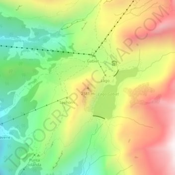
Name: seehore topographic map, elevation, terrain.
Location: seehore, Gressoney-La-Trinité, Valle d'Aosta, Italië (45.85050 7.84372 45.85060 7.84382)
Average elevation: 2,360 m
Minimum elevation: 1,918 m
Maximum elevation: 2,889 m
Thank you for supporting this site ❤️
Make a donation
Make a donation
Gear up for your next adventure:
As an Amazon Associate, this site earns from qualifying purchases at no extra cost to you.