
Make a donation
Gear up for your next adventure:
As an Amazon Associate, this site earns from qualifying purchases at no extra cost to you.
De Moeren topographic map
Click on the map to display elevation.
Make a donation
Gear up for your next adventure:
As an Amazon Associate, this site earns from qualifying purchases at no extra cost to you.
De Moeren
Het dorp De Moeren bevindt zich centraal in de droogmakerij De Moeren op een hoogte van ongeveer 0 meter. Het landschap is uitzonderlijk vlak en boomloos en bestaat uit een raster van kaarsrechte wegen en waterlopen, omringd door een ringvaart, waarop het water wordt uitgeslagen.
Make a donation
Gear up for your next adventure:
As an Amazon Associate, this site earns from qualifying purchases at no extra cost to you.
About this map
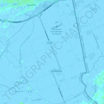
Name: De Moeren topographic map, elevation, terrain.
Average elevation: -1 m
Minimum elevation: -7 m
Maximum elevation: 6 m
Make a donation
Gear up for your next adventure:
As an Amazon Associate, this site earns from qualifying purchases at no extra cost to you.