Geolocate

Mount Calvary topographic map

Click on the map to display elevation.

About this map

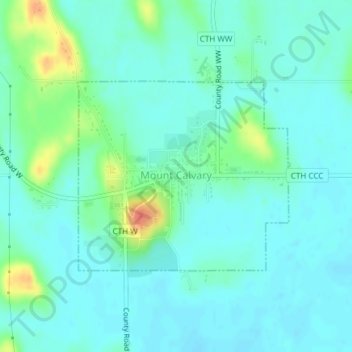
Name: Mount Calvary topographic map, elevation, terrain.

Location: Mount Calvary, Fond du Lac County, Wisconsin, United States (43.81901 -88.25673 43.83357 -88.23424)

Average elevation: 288 m

Minimum elevation: 277 m

Maximum elevation: 327 m

Other topographic maps

Click on a map to view its topography, its elevation and its terrain.

Waucousta

United States > Wisconsin > Fond du Lac County

Average elevation: 316 m

Eldorado

United States > Wisconsin > Fond du Lac County

Average elevation: 267 m

Gear up for your next adventure:

🔭Outdoor Binoculars - Lightweight binoculars for birdwatching and hiking
🧢Sun Hat - Wide-brim hat for sun protection
👟Leg Gaiters - Keep debris, mud, and snow out of your boots
Camping Coffee Maker - Brew fresh coffee anywhere on the topographic map
🔦LED Flashlight - Powerful and long-lasting flashlight for camping and emergencies

As an Amazon Associate, this site earns from qualifying purchases at no extra cost to you.