Geolocate

San Marcos topographic map

Click on the map to display elevation.

About this map

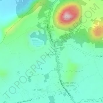
Name: San Marcos topographic map, elevation, terrain.

Location: San Marcos, San Pablo, Laguna, Calabarzon, 4000, Philippines (14.09722 121.28795 14.10968 121.31341)

Average elevation: 137 m

Minimum elevation: 39 m

Maximum elevation: 386 m

Other topographic maps

Click on a map to view its topography, its elevation and its terrain.

Balatuin River

Philippines > Laguna > San Pablo > San Miguel

Average elevation: 74 m

Gear up for your next adventure:

🧦Hiking Liner Socks - Thin base layer to prevent friction and blisters
🎒Backpack Rain Cover - External shield to keep your entire pack dry
🧥Softshell Jacket - Windproof and breathable jacket for hiking
💧Collapsible Water Bottle - Space-saving water bottle for outdoor activities
🛏️Sleeping Bag - Warm and compact sleeping bags for outdoor camping

As an Amazon Associate, this site earns from qualifying purchases at no extra cost to you.