Geolocate

Kurichy topographic map

Click on the map to display elevation.

About this map

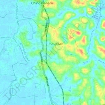
Name: Kurichy topographic map, elevation, terrain.

Location: Kurichy, Putuppalli, Changanassery, Kottayam, Kerala, India (9.47103 76.49289 9.51816 76.55753)

Average elevation: 11 m

Minimum elevation: -2 m

Maximum elevation: 51 m

Gear up for your next adventure:

🥾Light Hiking Boots - Lightweight and comfortable boots for day hikes
🛌Insulated Sleeping Pad - Critical thermal barrier between you and the cold ground
🧼Biodegradable Camp Soap - Environmentally friendly cleaning for gear and body
🥘Camping Cookware Set - Compact nesting pots and pans for trail cooking
🥾Light Trekking Boots - Supportive boots for multi-day treks

As an Amazon Associate, this site earns from qualifying purchases at no extra cost to you.