
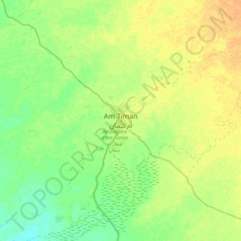
Am Timan topographic map
Click on the map to display elevation.
About this map
Name: Am Timan topographic map, elevation, terrain.
Location: Am Timan, Salamat, Chad (10.87964 20.12264 11.19964 20.44264)
Average elevation: 433 m
Minimum elevation: 422 m
Maximum elevation: 446 m
Other topographic maps
Click on a map to view its topography, its elevation and its terrain.