Geolocate

Kaptai topographic map

Click on the map to display elevation.

About this map
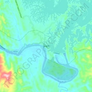
Name: Kaptai topographic map, elevation, terrain.

Location: Kaptai, Kaptai Upazila, Rangamati Hill District, Chattogram Division, 4533, Bangladesh (22.46012 92.17560 22.54012 92.25560)

Average elevation: 50 m

Minimum elevation: 5 m

Maximum elevation: 293 m

Other topographic maps

Click on a map to view its topography, its elevation and its terrain.

Gear up for your next adventure:

☕Camping Coffee Maker - Brew fresh coffee anywhere on the topographic map
🪑Ultralight Camping Stool - Compact seating for rest stops during long hikes
🥾Lightweight Hiking Shoes - Comfortable shoes for day hikes
🦌Outdoor Trail Camera - Monitor wildlife activity near your favorite spots
🛶Waterproof Dry Bags - Keep electronics and clothes dry during river crossings

As an Amazon Associate, this site earns from qualifying purchases at no extra cost to you.