Geolocate

Union Springs topographic map

Click on the map to display elevation.

About this map

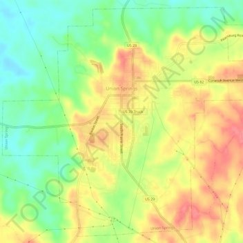
Name: Union Springs topographic map, elevation, terrain.

Location: Union Springs, Bullock County, Alabama, 36089, United States (32.11554 -85.74391 32.16076 -85.68732)

Average elevation: 139 m

Minimum elevation: 102 m

Maximum elevation: 175 m

Other topographic maps

Click on a map to view its topography, its elevation and its terrain.

Scottland

United States > Alabama > Bullock County

Average elevation: 150 m

Gear up for your next adventure:

🧦Crew Hiking Socks - Comfortable socks for long-distance hikes
🌬️Windproof Camp Stove - Efficient cooking even on exposed mountain peaks
🥾Durable Hiking Shoes - Long-lasting shoes for frequent hiking
💡Compact LED Flashlight - Powerful and portable flashlight for outdoor use
Tent Footprint - Protect tent floor and increase durability

As an Amazon Associate, this site earns from qualifying purchases at no extra cost to you.