
汾城镇 topographic map
Interactive map
Click on the map to display elevation.
About this map
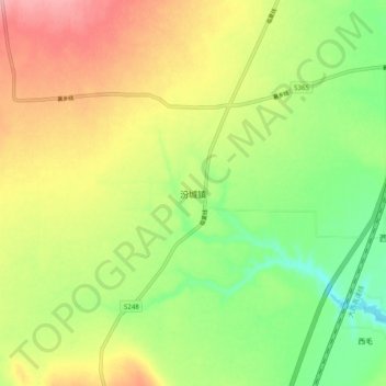
Name: 汾城镇 topographic map, elevation, terrain.
Location: 汾城镇, 襄汾县, 临汾市, 山西省, 中国 (35.77765 111.23425 35.85765 111.31425)
Average elevation: 518 m
Minimum elevation: 457 m
Maximum elevation: 589 m
Other topographic maps
Click on a map to view its topography, its elevation and its terrain.