
Thomas Township topographic map
Click on the map to display elevation.
About this map
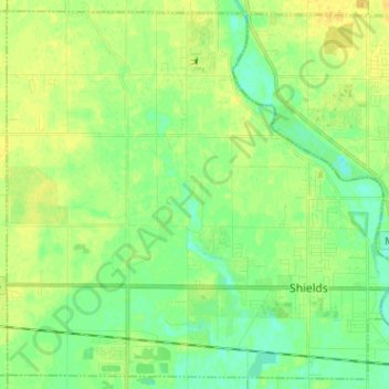
Name: Thomas Township topographic map, elevation, terrain.
Location: Thomas Township, Saginaw County, Michigan, United States (43.39415 -84.17064 43.48191 -84.04314)
Average elevation: 186 m
Minimum elevation: 176 m
Maximum elevation: 196 m
Other topographic maps
Click on a map to view its topography, its elevation and its terrain.
Shattuckville
United States > Michigan > Saginaw County > Saginaw Charter Township
Average elevation: 187 m
Shattuckville
United States > Michigan > Saginaw County > Saginaw Charter Township
Average elevation: 187 m