
Calacoto topographic map
Click on the map to display elevation.
About this map
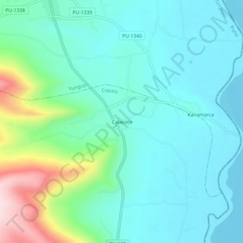
Name: Calacoto topographic map, elevation, terrain.
Location: Calacoto, Copani, Yunguyo, Puno, Perú (-16.36630 -69.06265 -16.32630 -69.02265)
Average elevation: 3,888 m
Minimum elevation: 3,810 m
Maximum elevation: 4,169 m