Geolocate

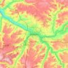
Bonneville topographic map

Click on the map to display elevation.

About this map
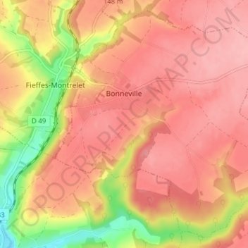
Name: Bonneville topographic map, elevation, terrain.

Location: Bonneville, Amiens, Somme, Hauts-de-France, Metropolitan France, 80670, France (50.05900 2.23110 50.09608 2.29432)

Average elevation: 128 m

Minimum elevation: 49 m

Maximum elevation: 165 m

Other topographic maps

Click on a map to view its topography, its elevation and its terrain.

Petit-Camon

France > Hauts-de-France > Somme > Camon

Average elevation: 73 m

Amiens

France > Hauts-de-France > Somme > Amiens

Average elevation: 86 m

Larronville

France > Hauts-de-France > Somme > Rue

Average elevation: 8 m

Gear up for your next adventure:

🥾Waterproof Hiking Shoes - Durable shoes for wet and rugged trails
🧴Insect Repellent - Protect yourself from bugs during outdoor adventures
🧥Packable Rain Jacket - Breathable waterproof layer for unpredictable weather
🩹Compact First Aid Kit - Pre-packed essentials for common trail injuries
🥘Camping Cookware Set - Compact nesting pots and pans for trail cooking

As an Amazon Associate, this site earns from qualifying purchases at no extra cost to you.