
Thank you for supporting this site ❤️
Make a donation
Make a donation
Gear up for your next adventure:
As an Amazon Associate, this site earns from qualifying purchases at no extra cost to you.
Vetalwadi topographic map
Click on the map to display elevation.
Thank you for supporting this site ❤️
Make a donation
Make a donation
Gear up for your next adventure:
As an Amazon Associate, this site earns from qualifying purchases at no extra cost to you.
About this map
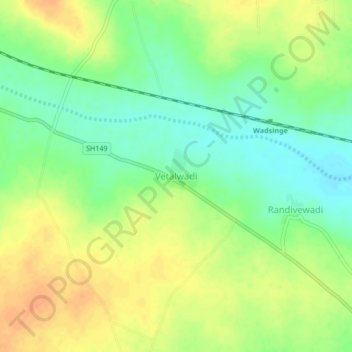
Name: Vetalwadi topographic map, elevation, terrain.
Location: Vetalwadi, Madha, Solapur District, Maharashtra, India (18.04032 75.45767 18.08032 75.49767)
Average elevation: 503 m
Minimum elevation: 485 m
Maximum elevation: 520 m
Thank you for supporting this site ❤️
Make a donation
Make a donation
Gear up for your next adventure:
As an Amazon Associate, this site earns from qualifying purchases at no extra cost to you.