Geolocate

Utrilla topographic map

Click on the map to display elevation.

About this map

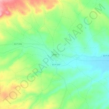
Name: Utrilla topographic map, elevation, terrain.

Location: Utrilla, Arcos de Jalón, Soria, Castilla y León, España (41.27053 -2.34108 41.31053 -2.30108)

Average elevation: 888 m

Minimum elevation: 831 m

Maximum elevation: 989 m

Gear up for your next adventure:

🧰Multitool Knife - Compact and versatile tool for outdoor use
🥾Hiking Gaiters - Protect legs and shoes from mud, snow, and debris
🦶Hiking Shoe Insoles - Added support for high arches and long days on feet
🥾Lightweight Hiking Shoes - Comfortable shoes for day hikes
👟Trail Running Shoes - Agile footwear for fast-paced topographic exploration

As an Amazon Associate, this site earns from qualifying purchases at no extra cost to you.