
Flomaton topographic map
Click on the map to display elevation.
About this map
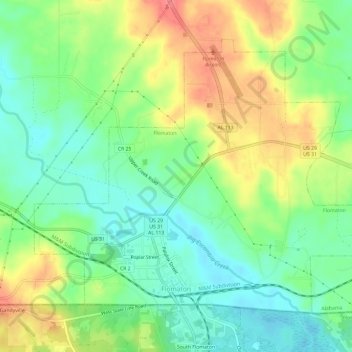
Name: Flomaton topographic map, elevation, terrain.
Location: Flomaton, Escambia County, Alabama, 36441, United States (30.99670 -87.28463 31.03604 -87.22562)
Average elevation: 42 m
Minimum elevation: 13 m
Maximum elevation: 84 m