
Big Bend topographic map
Interactive map
Click on the map to display elevation.
About this map
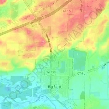
Name: Big Bend topographic map, elevation, terrain.
Location: Big Bend, Waukesha County, Wisconsin, 53103, USA (42.87141 -88.22888 42.91993 -88.19313)
Average elevation: 268 m
Minimum elevation: 233 m
Maximum elevation: 312 m