
Yeldu topographic map
Interactive map
Click on the map to display elevation.
About this map
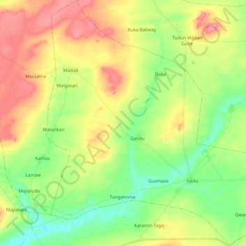
Name: Yeldu topographic map, elevation, terrain.
Location: Yeldu, Arewa Dandi, Kebbi State, Nigeria (12.74006 4.15735 12.91835 4.34149)
Average elevation: 245 m
Minimum elevation: 208 m
Maximum elevation: 291 m
Other topographic maps
Click on a map to view its topography, its elevation and its terrain.
Yaldu
Nigeria > Kebbi State > Arewa Dandi > Yeldu
Yaldu, Yeldu, Arewa Dandi, Kebbi State, Nigeria
Average elevation: 229 m