Geolocate

Kolaghat topographic map

Click on the map to display elevation.

About this map

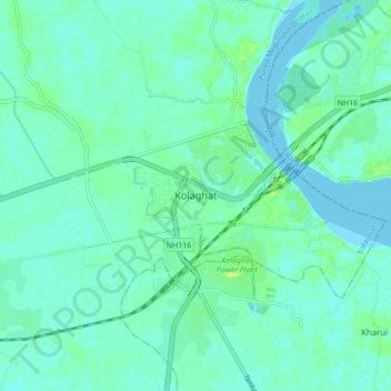
Name: Kolaghat topographic map, elevation, terrain.

Location: Kolaghat, Purba Medinipur District, West Bengal, 721134, India (22.39195 87.82312 22.47195 87.90312)

Average elevation: 4 m

Minimum elevation: -2 m

Maximum elevation: 15 m

Gear up for your next adventure:

🧣Evaporative Cooling Towel - Beat the heat during intense summer climbs
🧭GPS Tracker - Track your location in remote areas safely
🧰Survival Kit - Essential gear for emergencies in the wilderness
🥾Trail Running Shoes - Lightweight and durable shoes for trail running
💧Hydration Pack - Hands-free hydration system for long hikes

As an Amazon Associate, this site earns from qualifying purchases at no extra cost to you.