
East Troy topographic map
Click on the map to display elevation.
About this map
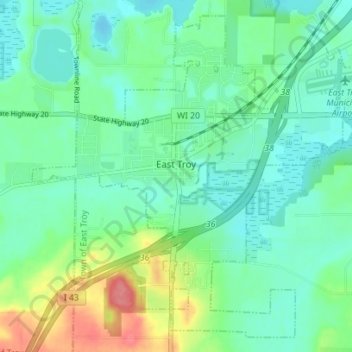
Name: East Troy topographic map, elevation, terrain.
Location: East Troy, Walworth County, Wisconsin, United States (42.75987 -88.43419 42.80684 -88.36425)
Average elevation: 264 m
Minimum elevation: 243 m
Maximum elevation: 320 m
Other topographic maps
Click on a map to view its topography, its elevation and its terrain.
Pell Lake
United States > Wisconsin > Walworth County > Village of Bloomfield
Average elevation: 263 m