
Thank you for supporting this site ❤️
Make a donation
Make a donation
Gear up for your next adventure:
As an Amazon Associate, this site earns from qualifying purchases at no extra cost to you.
Luseland topographic map
Click on the map to display elevation.
Thank you for supporting this site ❤️
Make a donation
Make a donation
Gear up for your next adventure:
As an Amazon Associate, this site earns from qualifying purchases at no extra cost to you.
About this map
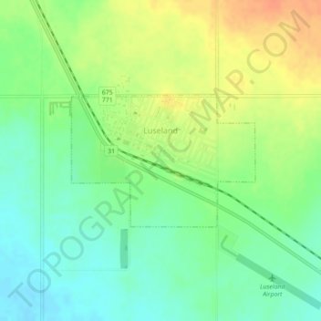
Name: Luseland topographic map, elevation, terrain.
Location: Luseland, Division No. 13, Saskatchewan, S0L 2A0, Canada (52.07414 -109.40316 52.08526 -109.37798)
Average elevation: 701 m
Minimum elevation: 683 m
Maximum elevation: 725 m
Division No. 13 trails, hiking, mountain biking, running and outdoor activities
Thank you for supporting this site ❤️
Make a donation
Make a donation
Gear up for your next adventure:
As an Amazon Associate, this site earns from qualifying purchases at no extra cost to you.