Geolocate

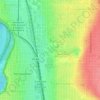
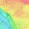
Overlook topographic map

Click on the map to display elevation.

About this map
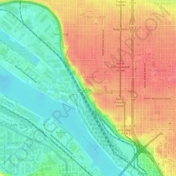
Name: Overlook topographic map, elevation, terrain.

Location: Overlook, Portland, Multnomah County, Oregon, United States (45.53824 -122.72818 45.57529 -122.67585)

Average elevation: 33 m

Minimum elevation: 0 m

Maximum elevation: 70 m

Other topographic maps

Click on a map to view its topography, its elevation and its terrain.
Rocky Butte

United States > Oregon > Multnomah County > Portland

Rocky Butte lies in the northeast part of Portland within the city limits, in Multnomah County, part of the U. S. state of Oregon. It is one of the few smaller volcanic cones within or near Portland, along with Mount Tabor, Kelly Butte, and Powell Butte. According to the U.S. National Geodetic Survey, Rocky…

Average elevation: 67 m
Dawson Park

United States > Oregon > Multnomah County > Portland

Average elevation: 45 m

Charity

United States > Oregon > Multnomah County > Portland

Average elevation: 37 m

Mill Park

United States > Oregon > Multnomah County > Portland

Average elevation: 91 m

Empty

United States > Oregon > Multnomah County > Portland

Average elevation: 218 m

Mill Park

United States > Oregon > Multnomah County > Portland

Average elevation: 91 m

Gear up for your next adventure:

🧤Rechargeable Heated Gloves - Extreme warmth for Canadian winter expeditions
🥾Lightweight Hiking Boots - Boots for comfort and mobility on long hikes
🧥Thermal Fleece Jacket - Versatile insulation for changing mountain temperatures
👟Sport Hiking Sandals - Breathable footwear for water crossings and camp rest
🕯️Camping Lantern - Illuminates your entire campsite with high-efficiency LEDs

As an Amazon Associate, this site earns from qualifying purchases at no extra cost to you.