Geolocate

Shangpung topographic map

Click on the map to display elevation.

About this map

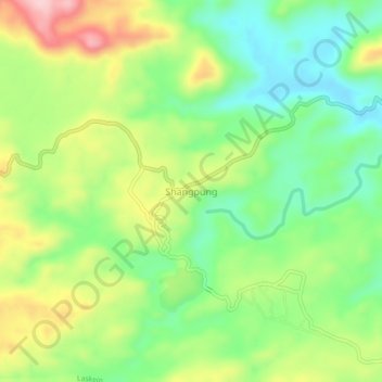
Name: Shangpung topographic map, elevation, terrain.

Location: Shangpung, Laskein, West Jaintia Hills District, Meghalaya, India (25.45985 92.33672 25.49985 92.37672)

Average elevation: 1,247 m

Minimum elevation: 1,162 m

Maximum elevation: 1,374 m

Gear up for your next adventure:

🛏️Sleeping Bag - Warm and compact sleeping bags for outdoor camping
🧭GPS Handheld Device - Reliable GPS navigation for outdoor adventures
🧰Multitool Knife - Compact and versatile tool for outdoor use
👟Leg Gaiters - Keep debris, mud, and snow out of your boots
🔦LED Flashlight - Powerful and long-lasting flashlight for camping and emergencies

As an Amazon Associate, this site earns from qualifying purchases at no extra cost to you.