
Bazine topographic map
Interactive map
Click on the map to display elevation.
About this map
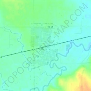
Name: Bazine topographic map, elevation, terrain.
Location: Bazine, Ness County, Kansas, 67516, USA (38.43898 -99.69762 38.45220 -99.68730)
Average elevation: 654 m
Minimum elevation: 644 m
Maximum elevation: 676 m