Geolocate

Border topographic map

Click on the map to display elevation.

About this map

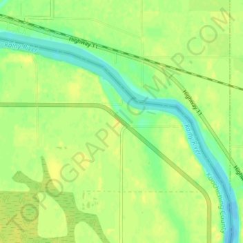
Name: Border topographic map, elevation, terrain.

Location: Border, Koochiching County, Minnesota, United States (48.67663 -94.29825 48.71663 -94.25825)

Average elevation: 333 m

Minimum elevation: 321 m

Maximum elevation: 340 m

Other topographic maps

Click on a map to view its topography, its elevation and its terrain.

Gear up for your next adventure:

🔨Vehicle Emergency Tool - Safety tool for remote road trips to trailheads
🥾Trail Hiking Shoes - Durable shoes designed for rugged trails
💡Solar Camping Lamp - Eco-friendly lighting for campsites
🔋Lithium AA Batteries - Long-lasting power that performs in extreme cold
🧢Hiking Sun Hat - Wide-brimmed protection for exposed mountain ridges

As an Amazon Associate, this site earns from qualifying purchases at no extra cost to you.