Geolocate

Choodasandra topographic map

Click on the map to display elevation.

About this map

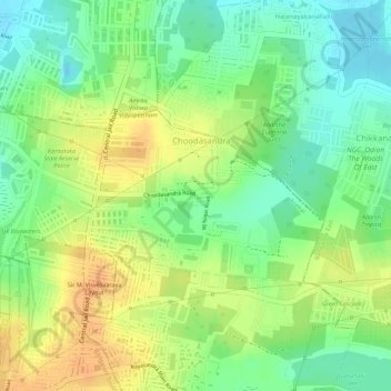
Name: Choodasandra topographic map, elevation, terrain.

Location: Choodasandra, Anekal, Bengaluru Urban, Karnataka, India (12.88239 77.67233 12.89429 77.68909)

Average elevation: 903 m

Minimum elevation: 884 m

Maximum elevation: 920 m

Gear up for your next adventure:

🧭GPS Tracker - Track your location in remote areas safely
🚲Bike Repair Kit - Essential tools for on-trail mechanical issues
🥾Waterproof Trail Shoes - Shoes designed to handle wet terrain
🧶550 Survival Paracord - Versatile utility cord for emergency repairs and rigging
🧢Outdoor Visor - Breathable visor for sunny hikes

As an Amazon Associate, this site earns from qualifying purchases at no extra cost to you.