Geolocate

Colwich topographic map

Click on the map to display elevation.

About this map

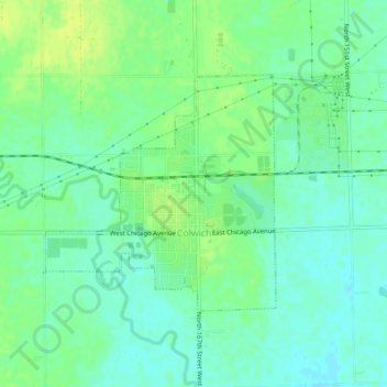
Name: Colwich topographic map, elevation, terrain.

Location: Colwich, Sedgwick County, Kansas, United States (37.77172 -97.57245 37.79392 -97.52676)

Average elevation: 421 m

Minimum elevation: 414 m

Maximum elevation: 429 m

Other topographic maps

Click on a map to view its topography, its elevation and its terrain.

Murray Gill

United States > Kansas > Sedgwick County

Average elevation: 395 m

Furley

United States > Kansas > Sedgwick County

Average elevation: 426 m

Sand Burr Hill

United States > Kansas > Sedgwick County > Wichita

Average elevation: 385 m

Wichita

United States > Kansas > Sedgwick County > Wichita

Average elevation: 410 m

Gear up for your next adventure:

🥤Collapsible Travel Cup - Saves space and weight in your mess kit
🗺️Topographic Maps - Detailed maps to explore trails, mountains, and wilderness areas
Camping Essentials - All-in-one gear for a comfortable camping trip
🦶Hiking Shoe Insoles - Added support for high arches and long days on feet
🧥Ultralight Puffy Jacket - Maximum warmth that packs down to the size of an orange

As an Amazon Associate, this site earns from qualifying purchases at no extra cost to you.