Geolocate

Jones Mill topographic map

Click on the map to display elevation.

About this map

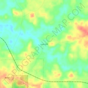
Name: Jones Mill topographic map, elevation, terrain.

Location: Jones Mill, Chambers County, Alabama, 36879, United States (32.73069 -85.57940 32.77069 -85.53940)

Average elevation: 219 m

Minimum elevation: 194 m

Maximum elevation: 248 m

Other topographic maps

Click on a map to view its topography, its elevation and its terrain.

Waverly

United States > Alabama > Chambers County

Average elevation: 224 m

Lanett

United States > Alabama > Chambers County

Average elevation: 195 m

Huguley

United States > Alabama > Chambers County > Huguley

Average elevation: 205 m

Gear up for your next adventure:

🦯Trekking Poles - Reduced impact on joints for steep topographic climbs
🧴Sunscreen SPF - Broad-spectrum sunscreen for outdoor activities
🥾Mountain Hiking Boots - High-traction boots for rocky terrain
🥾Approach Shoes - Shoes designed for climbing approaches and rugged trails
🥾Light Trekking Boots - Supportive boots for multi-day treks

As an Amazon Associate, this site earns from qualifying purchases at no extra cost to you.