
Thank you for supporting this site ❤️
Make a donation
Make a donation
Gear up for your next adventure:
As an Amazon Associate, this site earns from qualifying purchases at no extra cost to you.
Provonda topographic map
Click on the map to display elevation.
Thank you for supporting this site ❤️
Make a donation
Make a donation
Gear up for your next adventure:
As an Amazon Associate, this site earns from qualifying purchases at no extra cost to you.
About this map
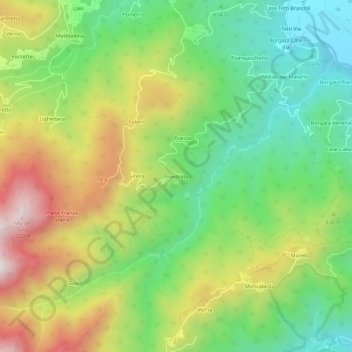
Name: Provonda topographic map, elevation, terrain.
Location: Provonda, Giaveno, Turijn, Piëmont, 10094, Italië (44.99328 7.29946 45.03328 7.33946)
Average elevation: 778 m
Minimum elevation: 478 m
Maximum elevation: 1,216 m
Thank you for supporting this site ❤️
Make a donation
Make a donation
Gear up for your next adventure:
As an Amazon Associate, this site earns from qualifying purchases at no extra cost to you.