Geolocate

Tarraso topographic map

Click on the map to display elevation.

About this map

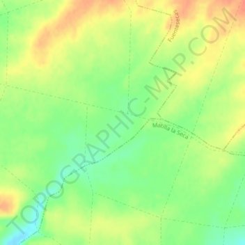
Name: Tarraso topographic map, elevation, terrain.

Location: Tarraso, Villalube, Zamora, Castile and León, Spain (41.59195 -5.51646 41.61195 -5.49646)

Average elevation: 746 m

Minimum elevation: 723 m

Maximum elevation: 767 m

Gear up for your next adventure:

🔭Outdoor Binoculars - Lightweight binoculars for birdwatching and hiking
Family Camping Tent - Spacious tent suitable for family camping trips
🩹Compact First Aid Kit - Pre-packed essentials for common trail injuries
👟Trail Running Shoes - Agile footwear for fast-paced topographic exploration
💧Hydration Bladder - Hands-free hydration solution for long treks

As an Amazon Associate, this site earns from qualifying purchases at no extra cost to you.