
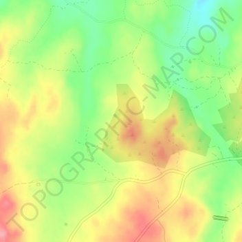
La Pancha topographic map
Interactive map
Click on the map to display elevation.
About this map
Name: La Pancha topographic map, elevation, terrain.
Average elevation: 461 m
Minimum elevation: 410 m
Maximum elevation: 512 m
Other topographic maps
Click on a map to view its topography, its elevation and its terrain.
La Aceña de la Borrega
España > Extremadura > Valencia de Alcántara > La Aceña de la Borrega
La Aceña de la Borrega, Valencia de Alcántara, Cáceres, Extremadura, España
Average elevation: 532 m