
Thank you for supporting this site ❤️
Make a donation
Make a donation
Gear up for your next adventure:
As an Amazon Associate, this site earns from qualifying purchases at no extra cost to you.
Güneyköy topographic map
Click on the map to display elevation.
Thank you for supporting this site ❤️
Make a donation
Make a donation
Gear up for your next adventure:
As an Amazon Associate, this site earns from qualifying purchases at no extra cost to you.
About this map
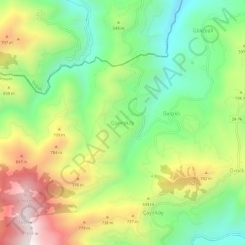
Name: Güneyköy topographic map, elevation, terrain.
Location: Güneyköy, Piraziz, Giresun, Black Sea Region, Turkey (40.86823 38.04902 40.90823 38.08902)
Average elevation: 549 m
Minimum elevation: 165 m
Maximum elevation: 1,098 m
Thank you for supporting this site ❤️
Make a donation
Make a donation
Gear up for your next adventure:
As an Amazon Associate, this site earns from qualifying purchases at no extra cost to you.